

Live
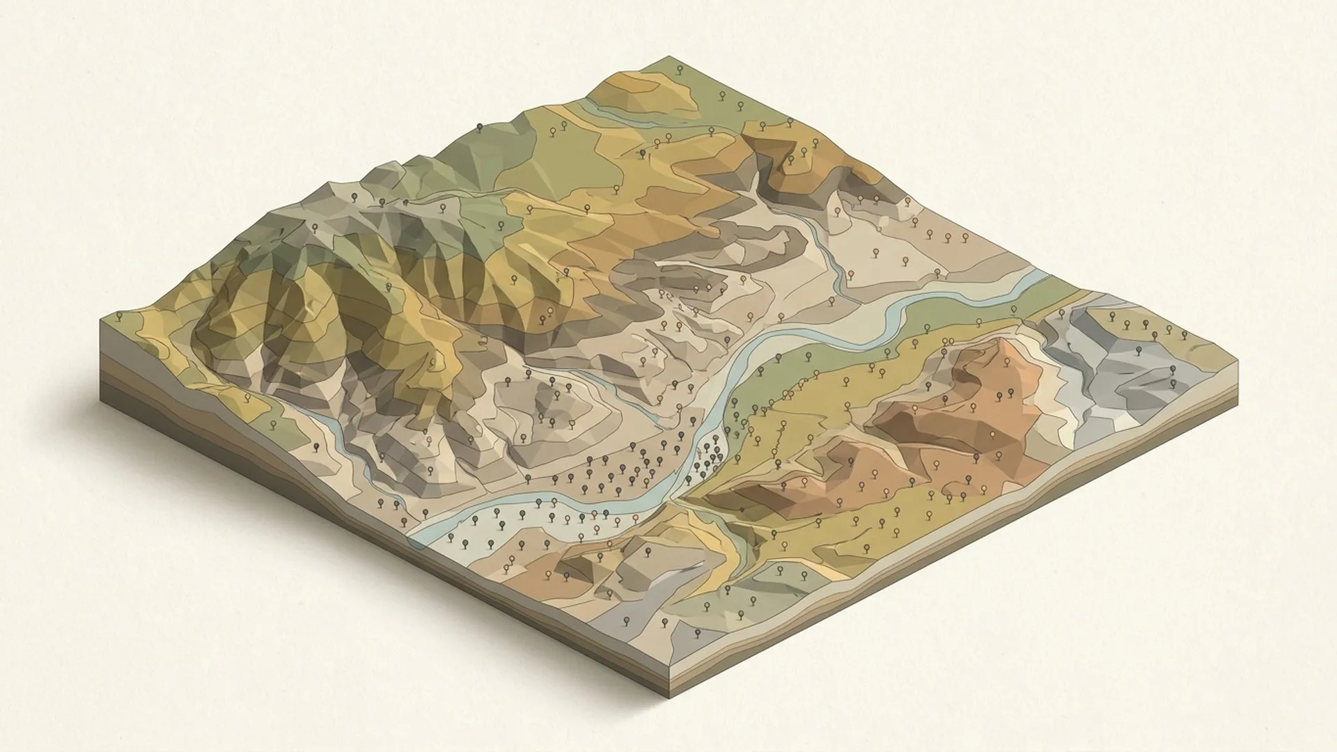
Map of Soil Science
The whole discipline on one pannable canvas: 10 zones, ~85 fields, ~300 sub-topics, in French and English, organized so you can move from a question to the literature behind it.
- Interactive map
- Soil science
- Open access
Ecosystem//Tools & resources
Alongside our consulting work, Ekodama builds open, rigorous tools for the people who study, measure, and model land systems: references, calculators, courses, even a board game. Some are live today; others are in development. Each one is designed to make credible soil and carbon work easier to do, and easier to defend.
Why we build//The intent
Every tool here began as a gap we kept hitting in real engagements: a reference that didn't exist, a calculation living in a spreadsheet only one person could run, field knowledge locked in PDFs nobody opens twice. At some point, building the missing piece properly became part of the practice: documented, sourced, usable.
We publish them because the field moves faster when method is shared. The Map of Soil Science is open under CC BY-SA, and where it makes sense the rest will follow. Everything is held to the same standard as the client work: when a number comes out of an Ekodama tool, you should be able to see where it came from.
Nothing here is hypothetical. Each tool answers a question a client, a student, or we ourselves actually asked.
Method is meant to circulate: open access and open licenses wherever the economics of a tool allow it.
Sources cited, assumptions visible, uncertainty acknowledged. A tool is a scientific claim, and it should survive scrutiny like one.
01
Maps, guides, and databases for naming what you observe, and defending it.
The whole discipline on one pannable canvas: 10 zones, ~85 fields, ~300 sub-topics, in French and English, organized so you can move from a question to the literature behind it.
A guided companion for identifying and classifying soils: horizons, texture, and diagnostic features. A bridge between what you observe in the field and the formal classification systems.
A documented photographic library of soil profiles, horizons, and field features, built with the French Soil Science Society (AFES), so courses, talks, and publications can draw on real, well-described soils.
A global database of species-specific, context-aware tree parameters (growth, allometry, carbon), with full provenance, built for teams that need to defend their numbers.
02
Calculators and scenario tools built to carbon-accounting standards.
Calculators for soil organic carbon work (sample-size and stratification planning, stock and uncertainty estimation), built to carbon-accounting standards, not agronomic rules of thumb.
Scenario tools built on established soil-carbon turnover models like RothC, calibrated to local climate and soils, for forecasting how management choices play out over time.
An interactive model for steering a whole farm toward net zero: adjust the practices and watch emissions, removals, yields, and the trade-offs between them move together. It's the farm-system modeling we do in engagements, made explorable.
03
Courses and teaching material drawn from what the consulting keeps teaching us.
A learning platform built from what the consulting work keeps teaching us: practical courses on soils, carbon, forestry, and regenerative agriculture, with room for outside practitioners to teach their own.
A tabletop game about how soils form and how pedologists read them: profiles, horizons, and soil-forming factors turned into play. For classrooms, field schools, and anyone curious about what's underfoot.
Work with us
Several of these tools are still taking shape. If one would solve a live problem for your team, or you'd like to help develop it, tell us what you're working on.