

Live
Map of Soil Science
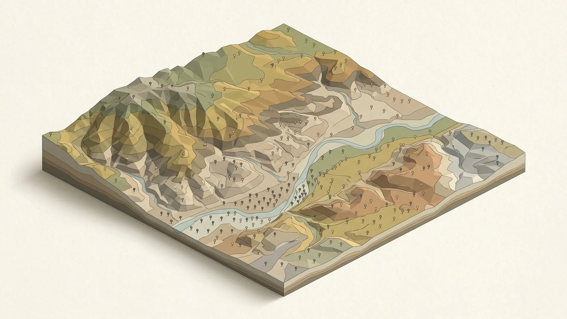
The whole discipline on one canvas you can pan, zoom, and search, in French and English: 10 domains and 150 entries, each with a plain-language definition, most with further reading.
- Interactive map
- Soil science
- Open access
Ekodama Lab//Digital tools & resources
Alongside our consulting work, the Ekodama Lab builds open, rigorous tools for the people who study, measure, and model land systems: references, calculators, simulators, and courses. Some are live today; others are in development. Each one is designed to make credible soil and carbon work easier to do, and easier to defend.
Why we build//The intent
Every tool here began as a gap we kept hitting in real engagements: a reference that didn't exist, a calculation living in a spreadsheet only one person could run, field knowledge locked in PDFs nobody opens twice. At some point, building the missing piece properly became part of the practice: documented, sourced, usable.
We publish them because the field moves faster when method is shared. The Map of Soil Science is open under CC BY-SA, and where it makes sense the rest will follow. Everything is held to the same standard as the client work: when a number comes out of an Ekodama tool, you should be able to see where it came from.
Nothing here is hypothetical. Each tool answers a question a client, a student, or we ourselves actually asked.
Method is meant to circulate: open access and open licenses wherever the economics of a tool allow it.
Sources cited, assumptions visible, uncertainty acknowledged. A tool is a scientific claim, and it should survive scrutiny like one.
01
Maps, guides, and databases for naming what you observe, and defending it.
The whole discipline on one canvas you can pan, zoom, and search, in French and English: 10 domains and 150 entries, each with a plain-language definition, most with further reading.
A documented photo library of soil profiles, horizons, and field features, built with the French Soil Science Society (AFES). Each photo is classified in WRB and the Référentiel Pédologique, mapped, and CC-licensed.
A guided companion to the French soil classification, the Référentiel Pédologique (RP 2008). A determination key leads from soil-pit observations to a named reference, asking the most decisive tests first.
One searchable tree carbon library: carbon stocks, growth rates, wood density, dimensions, and allometric equations, with the source, method, and uncertainty of every value.
02
Calculators and scenario tools built to carbon-accounting standards.
Defensible soil carbon sampling, from field design to audit: eligibility, stratification, compositing, lab method, baseline, and resampling, with live soil, terrain, and climate layers to place points anywhere.
Tests what a management change would do to soil carbon over decades, with three published models (RothC, AMG, and ICBM) instead of one. Compare up to five scenarios, per hectare or for the whole farm.
Where a planting or management decision would take a cocoa agroforestry farm, decade by decade. Density, shade and timber mix, rotation, and land-use change evolve together over fifty years, and the carbon balance follows.
Shade and tree carbon in cocoa agroforestry, species by species, as the trees grow. Sixteen species grow in 3D across up to three canopy layers, and carbon per hectare comes from published biomass equations.
03
Courses and teaching material drawn from what the consulting keeps teaching us.
A learning platform built from what the consulting work keeps teaching us: practical courses on soils, carbon, forestry, and regenerative agriculture, with room for outside practitioners to teach their own.
Work with us
Several of these tools are still taking shape. If one would solve a live problem for your team, or you'd like to help develop it, tell us what you're working on.
Note // Images
One image on this page is AI-generated rather than photographed. How this practice uses AI →